Level 7, 34 Charles St, Parramatta, Sydney, Australian Capital Territory
1969-12-31
1974-06-30
2016-09-26
4DMapper breaks down the geospatial data delivery bottleneck and leverages
ABOUT
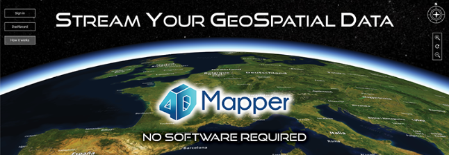
4DMapper breaks down the geospatial data delivery bottleneck and leverages the value of your data by streaming it to your clients. 4D Mapper is the only platform of it s kind, that automatically ingests virtually any data type; imagery, digital terrain, GIS data, WMS, pointclouds, inspection data and enables immediate viewing, measurement and collaboration via just a URL. No software. 4DMapper is a DIY platform, is free to try, ready to go right now. Drag and drop your data and you re underway.
4DMapper Pty Ltd
4DMapper is an Australian owned technology company and industry leader in streaming geospatial data. Our web-based platform enables rapid 4D visualization, real-time collaboration and partner integration across a fast expanding industry.
Geospatial data acquisition technology is booming and the industry is experiencing substantial growth through this data deluge phenomenon. 4DMapper’s unique cloud based IP directly addresses this issue, solves the data delivery bottleneck and opens new opportunities by enabling a wider audience to engage with geospatial data.
4DMapper is positioned to become the global leader in real-time geospatial data access and collaboration.
Our executive management team has extensive experience in the geospatial sector.
Simply upload your data to view, manage, measure, share and collaborate.
4DMapper puts your geopspatial mapping and asset inspection projects in front of whoever you choose.
Our powerful cloud-based platform requires no software, no high-spec computers or expert personnel.
4DMapper is an intuitive, feature rich, visual environment for your projects that enables rapid access by multiple users to visualise, digitize, measure and collaborate in real-time.
FEATURES
Integrate most industry file types in 3D;
- 3D digital terrain,
- orthophotos,
- shapefiles,
- asset photos and video,
- WMS, ArcGIS Server
- pointclouds.
Leverage your project by enabling contribution and collaboration in a shared environment.
HOW IT WORKS
Sign in
to your accountpload
your data.Share
it with your team